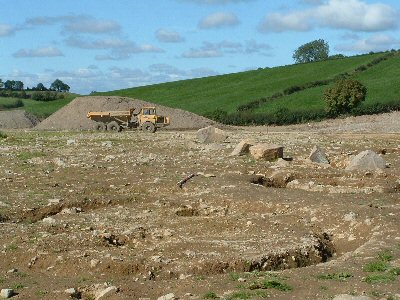
The drumlins just referred to are another unique feature of our local physical scene, sometimes rather graphically referred to as a ‘basket of eggs’ topology. Away from the mountains, and stretching in a broad band across north central
Nowhere is there a more dramatic manifestation of this phenomenon than in Newry and South Down; where the Newry bypass cuts through Damolly is fairly typical. Indeed a few miles north towards Poyntzpass there is a large sand quarry, another such feature of the passage of those enormous ice sheets. The Poyntzpass sub-glacial drainage channel reaches out to mountains and hills on each side, is several miles wide and more than twenty in length, from Tandragee to Narrow Water. In recent centuries man utilised its natural features to his own transport’s requirements, first in the eighteenth century to sink a natural canal to link with Lough Neagh, then in the nineteenth century for a rail link, and ever since for road transport. These three centuries’ transport are well illustrated as you travel from town by road through Carnbane, with the Goraghwood Quarry and forest to your left, and above it, the inter-city rail link, while further on and to your right, the more sedentary canal to Portadown reaches its highest level at Acton Lake.
I was returning home on this route some years ago, reflecting on how its dramatic topology lent itself to wide-screen cinematographic representation, when my attention was drawn to an aerial buzz behind me. An army Apache helicopter appeared from behind Goraghwood Quarry, described a wide arc high above and across my path, and reduced height until it hovered a few feet above ground at the edge of a sports field some five hundred metres ahead of me. Four soldiers jumped out, vaulted a gate and appeared, with hands raised on the road before me.
‘Name, please’, one ordered.
I couldn’t resist it. In the circumstances what else could I say. ‘The name’s Bond. James Bond!’ Thankfully he had a sense of humour and he let me proceed in peace.
~~~~~~~~~~~~~~~
Let us approach Newry, as promised, from a different direction, this time from the north, as if from
Sadly, now, the feature most people remark upon is the artificial construction on top, where the British Army have built a large sanger, the better to follow the everyday movements of the citizens below. The whole Ring of Gullion is likewise despoiled, but temporarily, we all hope. It is still impossible to travel around
You may not immediately be aware of it, but you are descending to sea level. Indeed it is impossible, except by the shore road, to approach Newry except from above. It is unsurprising therefore that flooding was a serious problem in the past. Much work was undertaken to save the west end and town centre from floods, and indeed, the Rivers Authority are now concluding further work on the Newry River to this end.
The narrowing of the channel in the town centre has the further bonus of raising the water level, through all seasons, above the foul-smelling sediments that so often in days gone by spoiled a pleasant summer stroll along its banks.
This
All through the town centre, the famous
